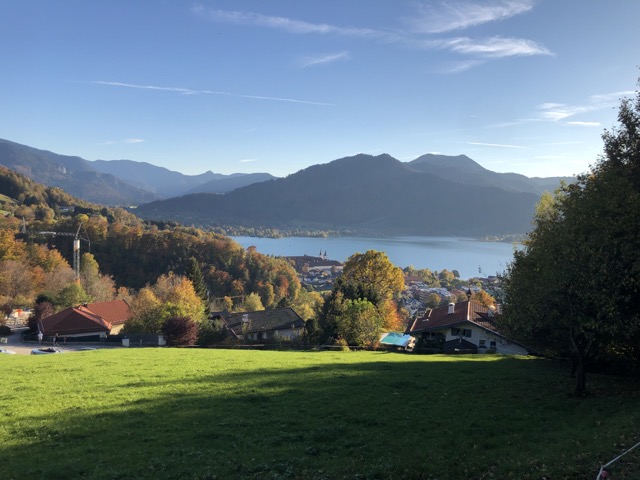
Hike – Hausham to Tegernsee
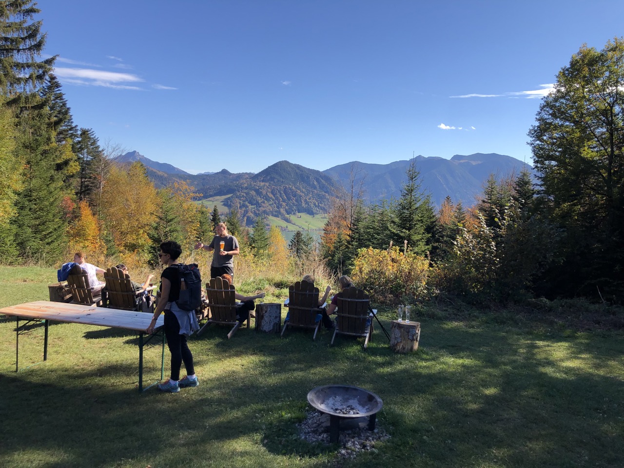
View from Huberspitz to Lake Schliersee

This is a nice beginner hike that should be done using public transportation. From the village of Hausham, we cross a little mountain chain to descend towards Lake Tegernsee. Numerous mountain huts and a moderate ascent make this an enjoyable experience also for families. With the right equipment, this could be done all year round. The hike could also be done in the opposite direction, even though the waiting time for the train to go back to Munich might be more convenient if you do it in the direction we suggest.
difficulty of ascent / Quality of signs

This is an easy hike that can be done with children

  • also doable for the occasional hiker

  • far from a challenging hike deep in the Alps and the track is very obvious

  • you should still feel comfortable hiking for a couple of hours and descending around 400 metres of altitude relatively fast in the end

How to get there?

  • You can take the train from Munich to Hausham. The stop is called “Hausham”. It is the RB55 to Bayrischzell via Holzkirchen. Take into account that the train that starts at Munich’s central station splits in Holzkirchen. Make sure to enter the right wagon with the destination Bayrischzell. For the return, you start your train ride from “Tegernsee Bahnhof”. You can buy a “Bayern ticket” from Deutsche Bahn and use it for both rides as well as your trip to the train station in Munich.

Starting point

  • From the train station, you stay on the same side where you exit the platform and follow the road (Franz-Langecker-Straße) on the opposite side of the train station towards the mountains. You bypass a big car park (left hand side) in front of a restaurant. On the right side of the restaurant, we follow the  foot path next to the bushes. The path turns left and we turn right into Naturfreundestraße. Always straight, the street turns into Huberspitzweg. After a slight left turn, we enter the woods and now we’re on track.

Ascent

  • Our first goal is Gindelalmschneid. On the way there, we pass by Huberspitz, a mountain hut open in summer and in winter. Check their website https://www.almbad.de/huberspitz/ for the current hours.
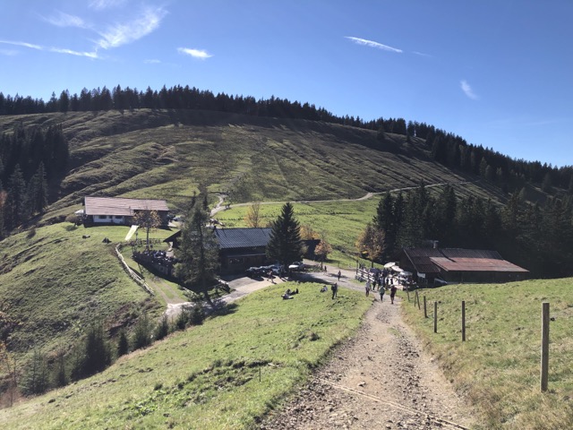
    After passing by Huberspitz, you continue to walk towards Gindelalmschneid. The signposts already show directions to Neureuth which will be a later stop on that hike. Right before Gindelalmschneid you arrive close to the Gindelalmen, a group of mountain huts. In summer, they serve local food and drinks. Optionally, we can continue to ascend to Gindelalmschneid, the only summit on this hike right behind the mountain huts.

Descent

  • If we reached the peak of Gindelalmschneid, we’ll descend the remaining part of the hike. If you didn’t hike to the peak, just turn right in front of Gindelalmschneid and continue to walk towards Neureuth. This is a sweet but popular restaurant with an amazing view on lake Tegernsee. They are more like a professional restaurant and have not much in common with the simplicity of a typical Bavarian mountain hut. You can descend in two directions that both will eventually lead you to the train station (Tegernsee Bahnhof) of Tegernsee (the village named after the lake). Both descents are steep, so if you want to protect your knees, this is the moment where we suggest to make use of your hiking poles.

Food

  • During this hike, you walk by three mountain huts
    • Almbad Huberspitz, a private mountain hut next to Hausham, your starting point
    • Gindelalm, a private mountain hut in the middle of the  hike
    • Neureuth, a private mountain hut after roughly three quarters of the hike, located with a beautiful view on Lake Tegernsee

Leave A Comment